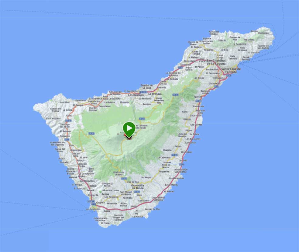
El Teide

How to get here
By car. If you are on south Tenerife the fastest way is to go TF-1 motorway in direction Los Gigantes and take the exit toward Tamaimo/Los Gigantes. At the roundabout, take the 1st exit onto Ctra. Chío a Tamaimo/TF-82. Then turn left onto TF-38 after a while. Continue up on TF-38 until you find TF-21 to the left. You will drive to Sendero de Montaña Blanca parking. The GPS Coords: 28.2593701, -16.6035847. There is a shortage of parking spaces and usually you would need to start early in order to get a spot. You can also park your car about 100 meters away along the main road.
Trail description
The trail is wide and has a quite even surface. In fact, the park ranger drive this path to the top. It will start with a rather modest ascent, but gradually it will start its winding turns with a lot more uphill. You will enjoy the wonderful scenery both to the north, west, east and south. When you reach 4.7 km the trail forks and one path lead to the steep ascent to the summit and the other will take you out to an scenic lookout at 5.5 km. You will enjoy the majestic view of the volcano in its full shape as you will be just 1.5 km from the volcano's crater summit.
Elevation
- Min 2400 m
- Max 2820 m
Distance / Time
- Total 11.0 km
- Elapsed Time 3:09:25


