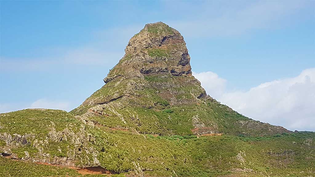
Roque de Taberno
Roque de Taberno
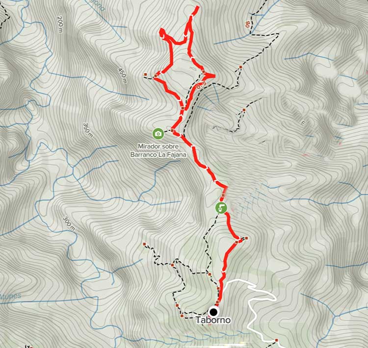
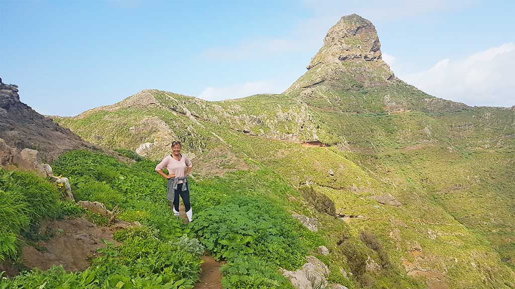
This is a 4.5 km loop trail. Good hiking shoes are really recommended. The loop circles around a strangely formed rock in the north of the Anaga forest. Although short, this hike is not recommended if you are afraid of heights. The path around the rock is questionable at times, and we recommend only skilled hikers for this one. Actually, we think at some passages around the cliff could even be life endangering. So a small warning! We did not complete the loop ourselves but stopped where the loop begins which will give you an ample view of the fantastic scenery anyway.


How to get here
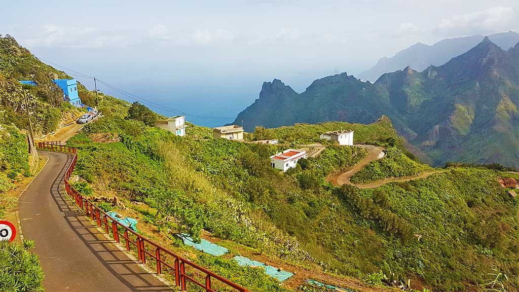
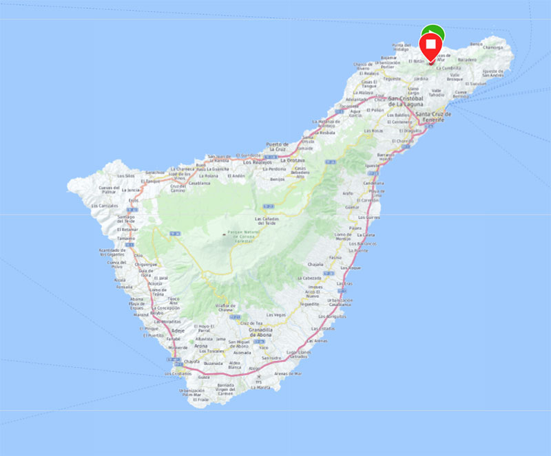
Expect some winding roads to get to Taberno. You need to drive through the Anaga forest to get here. To reach the forest you will take the TF-5 motorway out of Santa Cruz towards Puerto de la Cruz. You will need to look for the TF-13 exit and then take the left in the roundabout. There will be signs for "Anaga". In the small village of Los Álamos make a left and right turn onto TF-113/TF-12 which will take you straight up the Anaga forest. Go on for quite some time and take a sharp left at Cruce Carboneras then follow the road signs to Taborno. You can park the car along the wall at the GPS coordinates 28.5558529,-16.2649999
Trail description
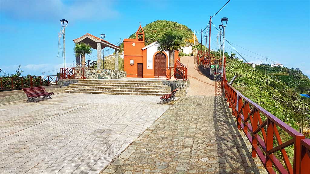
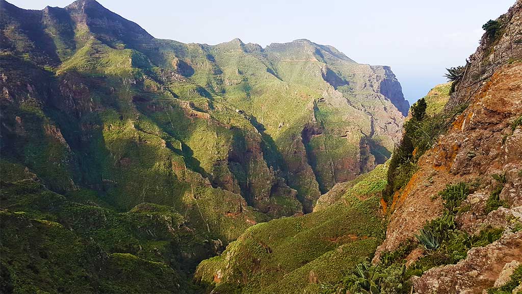
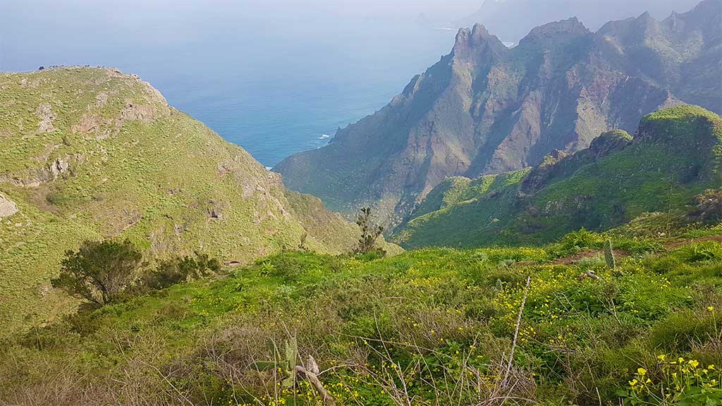
This trail starts in Taberno, a small village north of the Anaga forest in the North east corner of Tenerife. You should take the path on the right side of the chapel Iglesia de Taborno. You will walk on footpaths until the trail wears off to the left and down. Wonderful scenery. The path continues over rocky ground and some passages should be taken seriously. You will find a gate which is locked by a metal wire and make sure you shut the gate as the farmers have mountain goats here. The breathtaking scenery will impress you. Steep slopes to both right and left. When you get to the rock you have the decision to abort, because the loop around the cliff is dangerous for real. We actually stopped walking as some of the overhangs did not really look safe. But it is really up to you. The view from the rock where the loop starts is great as it is and we thought that the extra few hundred meters were not worth risking our lives for. Mind that the rock is some 400-500 above sea-level and it is basically a vertical drop straight down.
Elevation
- Min 575 m
- Max 620 m
Distance / Time
- Total 4.5 km
- Elapsed Time 1:36:10